Isro satellite images show damages caused by earthquake in Myanmar, see before and after pics | India News
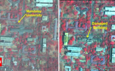
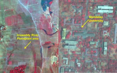
Before earthquake (left); damage after quake (right) NEW DELHI: Isro has released pictures of the damages caused by the deadly earthquake in Myanmar that killed more than 1,700 people. The images were taken by the earth imaging and mapping satellite, Cartosat-3.The earthquake’s epicenter was near Mandalay, Myanmar’s second-largest city, which suffered extensive damage. The tremors…

